
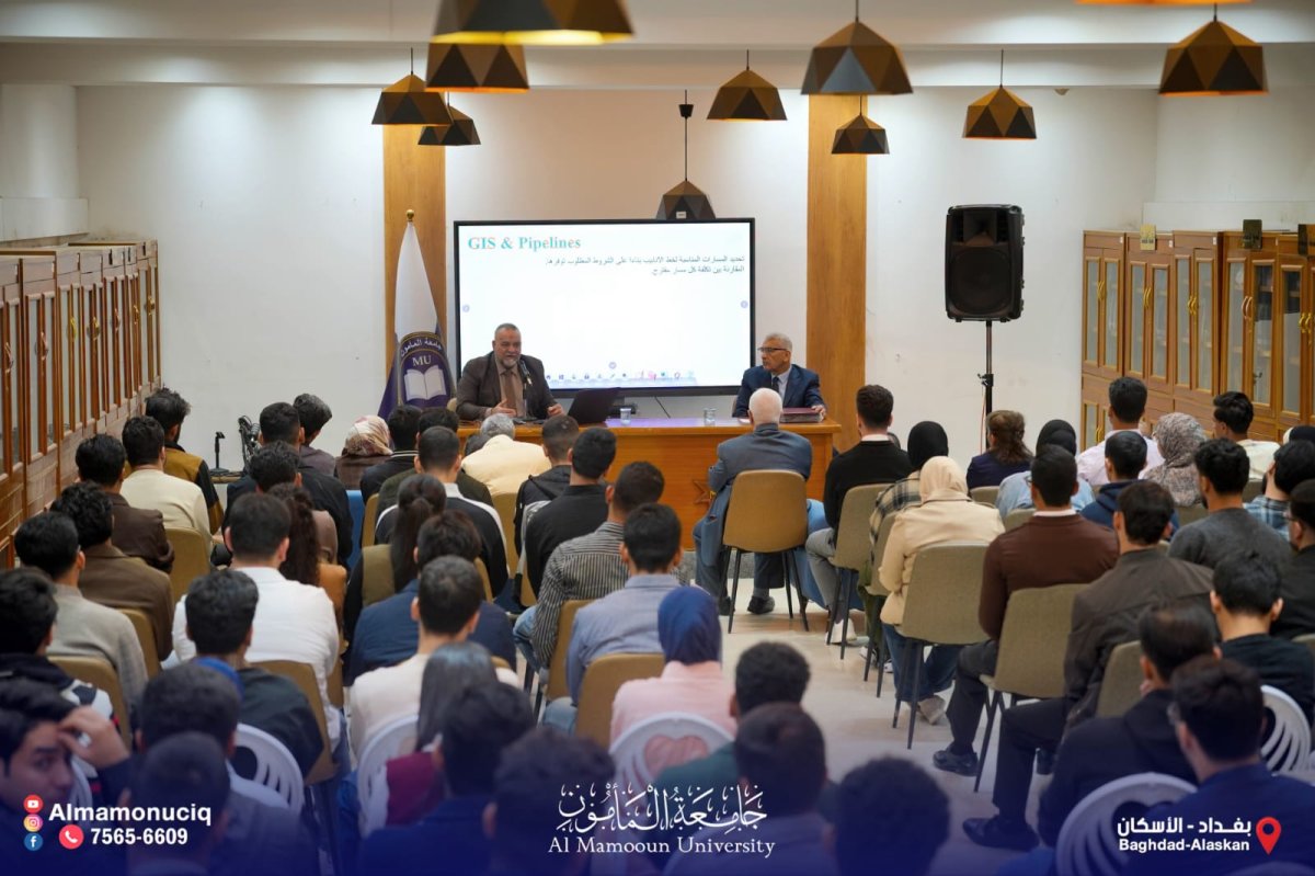
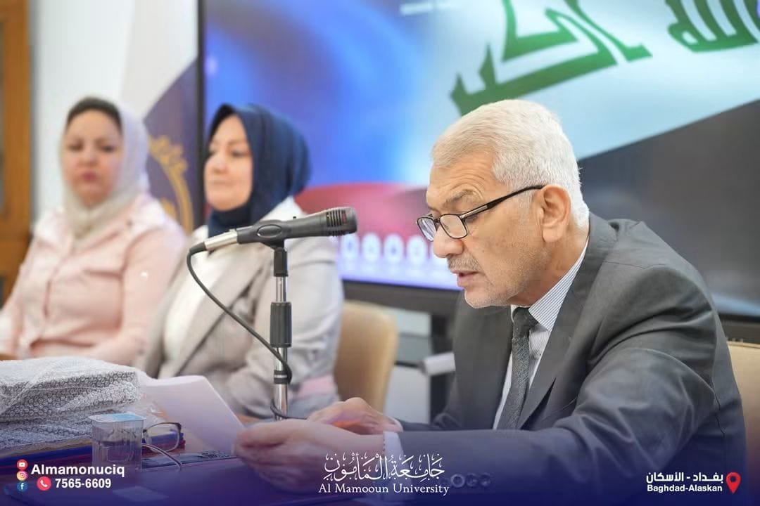
On Tuesday November 9, 2026, Al-Mamoun University’s Department of Continuing Education and Scientific Development hosted a seminar titled “The Integration of Geographic Information Systems and Remote Sensing in Support of Decision Making.” Shamil Jawad Abdullah, a senior chief geologist at Iraq’s Ministry of Oil, delivered the seminar. The event took place under the auspices of University President Abdulrahman Hameed Majeed.
Abdullah outlined the value of using geospatial technologies and satellite data to make analysis more efficient and to support scientific and professional decision making.
This seminar is part of Al-Mamoun University’s ongoing efforts to advance scientific knowledge, keep pace with technological developments, and create new opportunities for academics and professionals to exchange expertise.
Tags
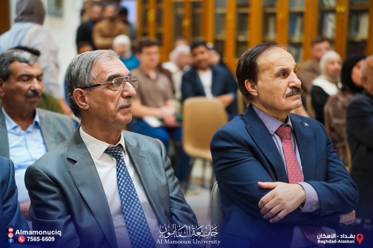
Al-Mamoun University Media Students Take Part in Seminar on Publishing in Iraq
Al-Mamoun University Seminar Presents New Method for Solving the Cost Allocation Problem
Al-Mamoun University Professor Serves on Doctoral Dissertation Defense Committee at University of Baghdad
Al-Mamoun University Holds Seminar on the Risks of Irregular Migration and Strengthening National Belonging
Al-Mamoun University Students Take Part in Visual Arts Festival at University of Baghdad
Al-Mamoun University Student Activities Division Holds Draw to Set Matchups for Football Tournament
Al-Mamoun University Biomedical Engineering Students Visit Health Expo Iraq
Dr. Jihad Al-Shammari Publishes Gastric Cancer Study in Letters in Biomathematics
Al-Mamoun University Symposium Examines Social Stigma Facing Unemployed Graduates
الاكثر مشاهدة
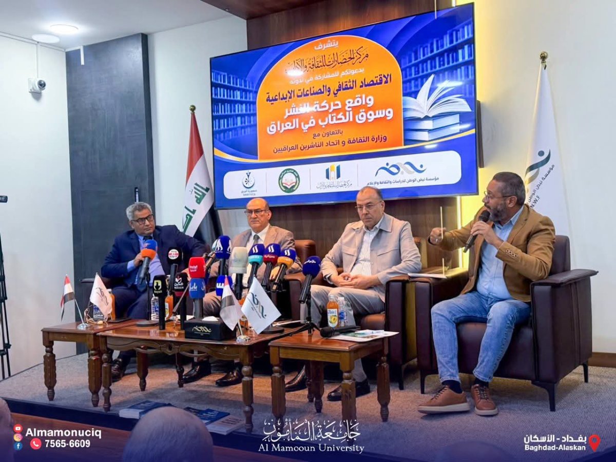
كلية الإعلام في جامعة المأمون تعزز مشاركة طلبتها في الفعاليات الثقافية والفكرية
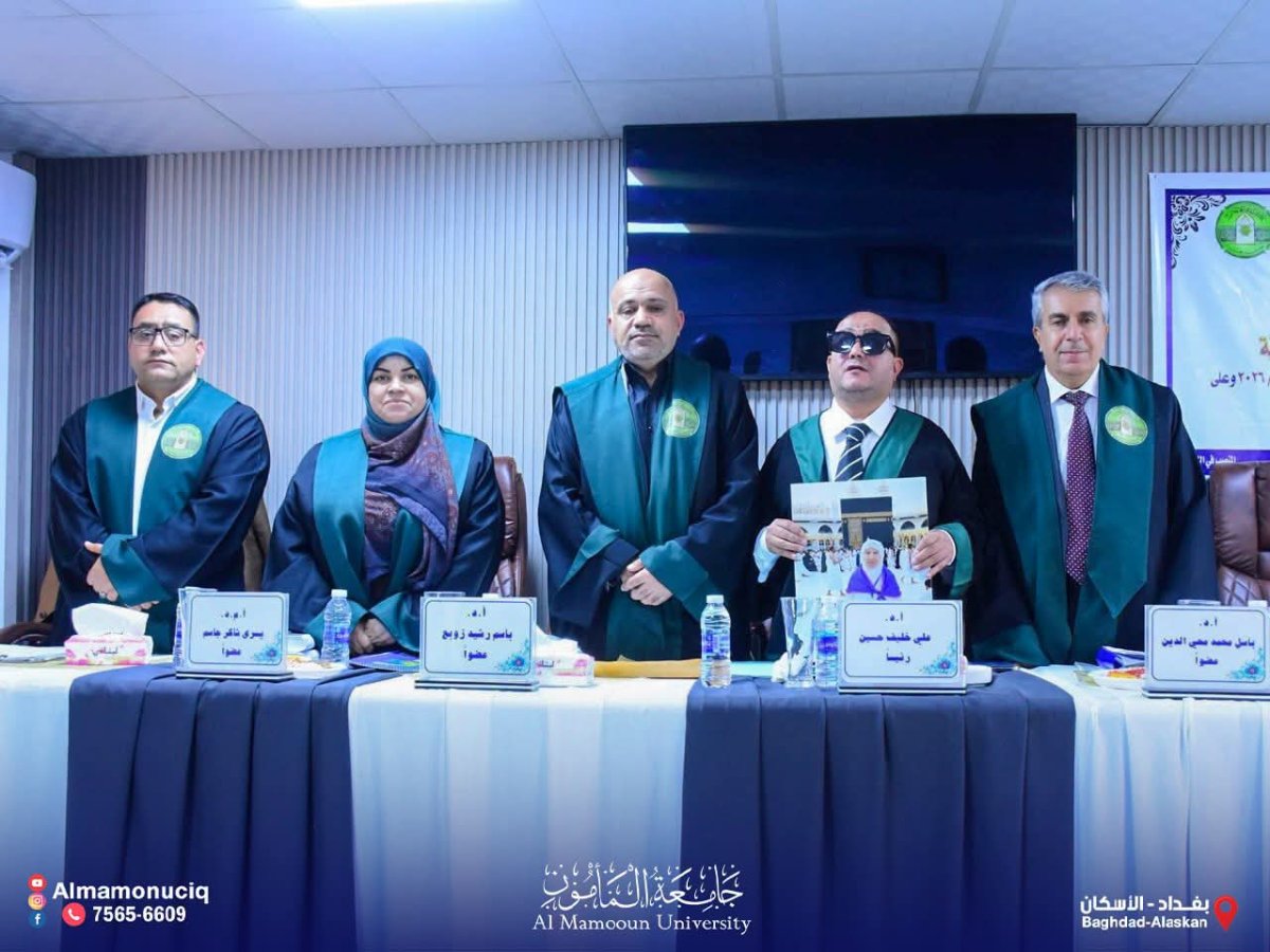
الأستاذ الدكتور باسل محمد محيي الدين عضواً في لجنة مناقشة أطروحة دكتوراه بجامعة بغداد
جامعة المأمون تنظم ندوة علمية حول مخاطر الهجرة غير الشرعية وتعزيز روح الانتماء للوطن


